Our story
From a summer directive to a deployed platform
CiviGuard began as an exponential-technologies research project at Singularity University. During the summer of 2009, our team at SU was given a single overarching directive:
Whatever you work on has to positively impact one billion people in ten years.
We debated a number of the world’s big problems and then narrowed down on disaster response.
Disasters displace or kill millions of people every year. Before, during and after disasters, resources are scarce, chaos is commonplace and communication is inconsistent. We saw a number of exponentially growing technology areas that could dramatically change that equation in favor of the citizens affected by these disasters. Mobile bandwidth was growing, smartphones were proliferating, sensors were getting smarter, and materials science was finally delivering production-ready breakthroughs.
The project team conceived of a ground-breaking disaster response platform that could deliver resources to the right people within four hours of a disaster occurring. The platform uniquely combined a number of rapid-response components:
- Geo-stationary airships strategically placed around high-risk zones, capable of carrying large payloads, including drones and relief packs. The USAF used these airships to provide persistent “eyes in the sky” over conflict zones — swap the optics with payloads and you have a potential solution.
- Medium-sized drones capable of precision-dropping food and medical supplies to stricken areas. We also explored disposable drones: lightweight airframes and basic propulsion capable of dropping their payload and then “soft-landing”, after which they could be serviced or disposed.
- A medical triage kit with NFC bracelets, allowing first responders to rapidly geotag injured citizens, establish severity status and relay the information back to HQ so that airlifts could be smartly provisioned. The kit contained miniaturized sensor tech: portable ultrasound scanners, EKGs and pulse-ox sensors.
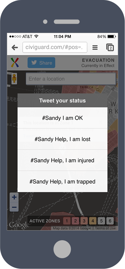
- An intelligent Disaster Response System optimized for smartphones, ad-hoc networking and multiple levels of redundancy. The DRS platform enabled incident commanders to identify precise hotspots and understand where key resources were being administered. Most importantly, DRS let first responders and citizens on the ground report back their status, needs and progress.
Key members of the SU team jointly filed a patent for a holistic Disaster Response System — US 2011/0130636.
Over the short-term horizon, focus was essential. The team chose to realize DRS before all the other components, as it would have the biggest impact given the technology adoption curves of 2009. And that is how CiviGuard was formed: an organization focused on building and demonstrating the advantages of a bi-directional, real-time platform for disaster response.
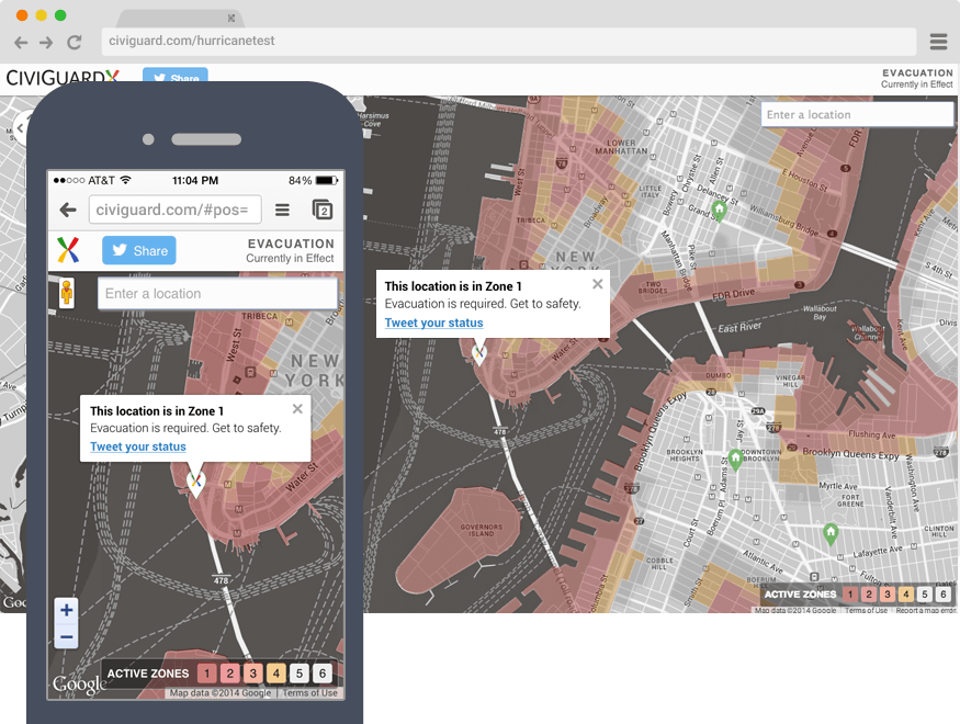
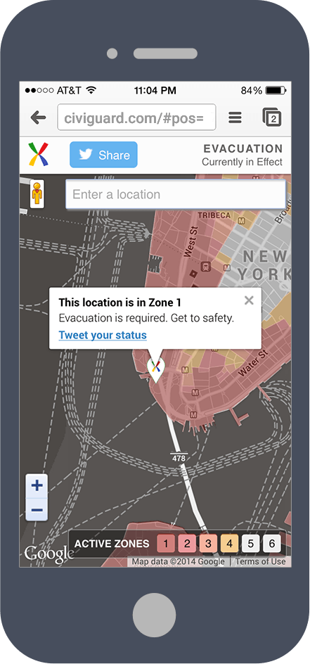
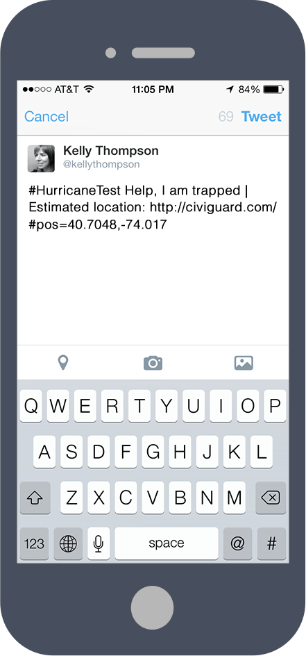
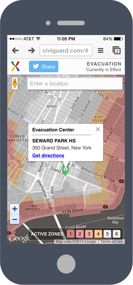
CiviGuard’s platform was deployed in pilot mode for the town of Manor, Texas, a pioneering “Citizen 2.0” community. We then activated CiviGuard for Hurricanes Irene and Sandy, assisting 60,000+ New Yorkers out of danger by telling them which evacuation zone they were in and which shelters were close by.